Across the United States, winter weather alerts start popping up the moment snow begins to gather in the mountains or cold air locks into place. You’ve seen them on your phone. Maybe it was a Winter Storm Watch last year. Or a Winter Weather Advisory during your morning commute. But how many of us really know what these alerts mean? More importantly, how should we react when they arrive?
This guide breaks down the most common types of winter weather alerts, explains who issues them, how they’re different, and why you need to pay attention even when the forecast doesn’t sound extreme. Whether you’re a seasoned snow driver or just trying to get your kids to school safely, here’s what you need to know.
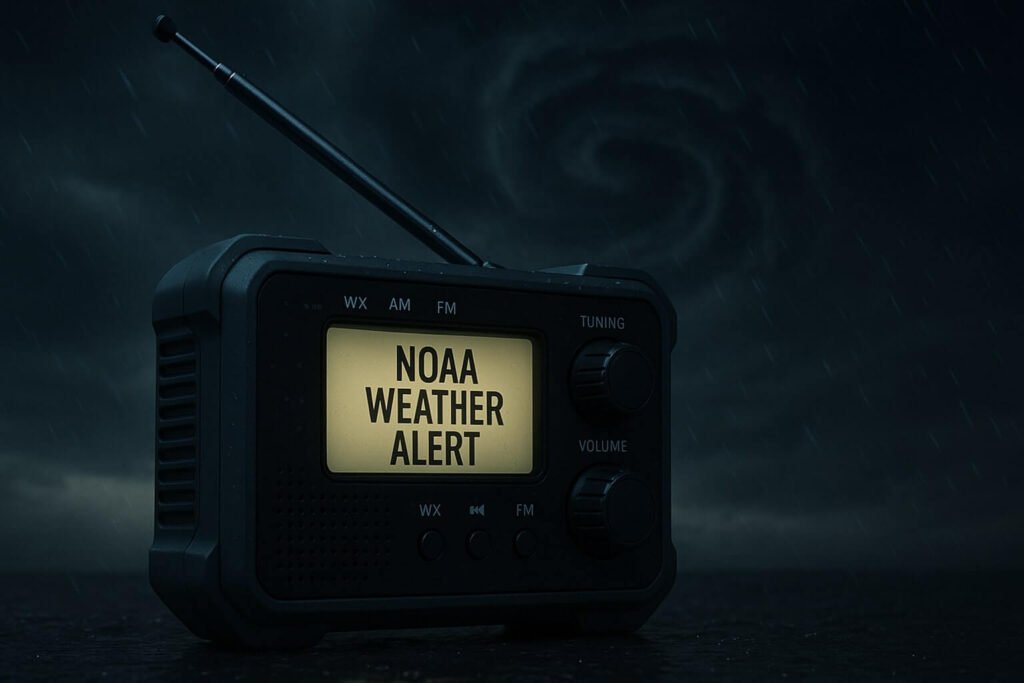
The different types of winter weather alerts and what they actually mean
Let’s start with the basics. Not all winter weather alerts are created equal. In fact, the National Weather Service has a clear system for how it warns the public, based on timing, severity, and confidence in the forecast.
- Winter Storm Watch: This is your early heads-up. It means conditions are favorable for a significant storm within the next 12 to 48 hours. Snow, sleet, freezing rain, or a messy mix may arrive, but forecasters still need a little more time to confirm the exact path or totals. A watch means you should start preparing.
- Winter Weather Advisory: This alert means that wintry conditions are expected and could cause inconvenience or minor travel issues. It’s the most common type of alert and covers situations like 2 to 4 inches of snow, patchy freezing rain, or slippery commutes. Don’t ignore it just because it doesn’t sound extreme. A light glaze of ice on a cold bridge can trigger multi-car crashes just as easily as a heavy snowstorm.
- Winter Storm Warning: This one is serious. It means that hazardous winter weather is either happening or will happen soon. Depending on your location, that could mean 6 inches of snow, a half inch of ice, or a dangerous combination of snow and wind. Each region sets its own thresholds based on local conditions. For example, Montana may not blink at 6 inches of snow, but in parts of the South, 2 inches is enough to bring everything to a halt.
- Blizzard Warning: This doesn’t mean the most snow. It means the worst visibility. If snow is falling or blowing around with 35 mph winds and visibility drops below a quarter mile for at least three hours, you’ve got a blizzard. Travel becomes life-threatening fast. Even snowplows pull off the roads.
- Ice Storm Warning: These alerts are rare but dangerous. If forecasters expect at least 0.25 inches of freezing rain, that’s enough to knock down power lines and trees. These events are less about snow and more about infrastructure failure. Generators, flashlights, and fully charged phones become essential.
- Snow Squall Warning: This one might be the most misunderstood. It’s issued for intense, short bursts of snow that drop visibility in seconds and coat roads with flash-frozen ice. You’ll only get a few minutes’ notice, and they often show up like summer storms. If you get this alert while driving, the best move is to delay or pull over safely and wait it out.
Why regional differences matter in winter alerts
One of the biggest surprises for people is how much the criteria for winter weather alerts vary by location. A Winter Storm Warning in Atlanta might be triggered by 2 inches of snow, while Denver would need at least 6 inches in 12 hours for the same alert. That’s not a mistake. It’s intentional.
Each local National Weather Service office sets its own criteria based on how snow and ice affect their communities. In places where snow is rare, small amounts can cause major disruptions. Where it’s common, more snow is needed to reach warning level.
This regional tuning helps make alerts more meaningful. If you’ve ever wondered why one side of your county is under an advisory while the other is under a warning, it’s likely due to elevation, temperature, or local infrastructure concerns. It also explains why some areas flip between alerts frequently while others don’t.
What’s happening now in early November?
Let’s look at what’s going on this week in the Northwest. A series of winter weather alerts were issued across western Montana and northern Idaho. According to reports from Newsweek and KPAX, 3 to 5 inches of snow are expected in mountain passes like Lookout and Marias. These zones often get hit first when cold air returns in November.
Lower elevation towns are mostly seeing rain, but early morning temperatures near freezing mean roads could still be slick. That’s why a Winter Weather Advisory is in place. It’s not just about how much snow falls. It’s about when and where it sticks.
Forecasters specifically warned about the morning commute, when temperatures are at their lowest and light snow or freezing drizzle could make travel risky. It’s a perfect example of why winter alerts matter, even if totals seem small. Timing is everything.
What should you do when a winter alert hits?
- Know the difference. Is it a watch, advisory, or warning? Each has a different level of urgency.
- Check the timing. Alerts have start and end times. You might be in the clear for now but affected in a few hours.
- Look at your location. Alerts are not always county-wide. They can be drawn as polygons around specific roads, cities, or elevation zones.
- Plan travel carefully. If a warning is active, delay trips if possible. For advisories, reduce speed, leave early, and pack emergency supplies in your car.
- Pay attention to wind and visibility. Blizzard and snow squall warnings are about whiteouts, not just totals. They create some of the most dangerous driving conditions of the season.
- Prepare for outages. If there’s an ice storm warning or even a heavy wet snow expected, make sure you have backup power, food, and a way to stay warm.
What tools can help you assess risk better?
Beyond standard winter weather alerts, the National Weather Service and its partners have introduced tools like the Winter Storm Severity Index (WSSI). This tool shows how impactful a winter event is likely to be. It considers more than snow totals. It looks at wind, snow load, blowing snow, ice accumulation, and road temperatures.
WSSI maps use simple color-coded levels, from “limited” to “extreme.” If your region is trending toward major or extreme, that’s your signal to make real changes to your plans.
Another useful tool is your local forecast discussion. Every NWS office publishes detailed notes explaining what they expect, what could change, and where the forecast is most uncertain. This is especially helpful in borderline rain-snow events or when snow levels are right on the edge of major roads.
The winter season brings more than snowflakes and ski days. It brings a layered system of winter weather alerts that are designed to give you time to act. These alerts aren’t just technical jargon. They are decisions waiting to be made. When you understand the difference between a Winter Weather Advisory and a Winter Storm Warning, you can choose to leave earlier, stock up smarter, or delay travel until conditions improve.
And remember, a winter storm doesn’t need to be massive to be disruptive. A single hour of light snow on a cold road can be more dangerous than a foot of powder that falls steadily over a weekend. That’s why understanding the intent behind each alert is just as important as watching the forecast.
This winter, let the alerts guide you. Use them as your signal to pause, prepare, and plan ahead. Because the more you understand about what these alerts mean, the better you’ll be at staying safe, no matter what the season throws your way.