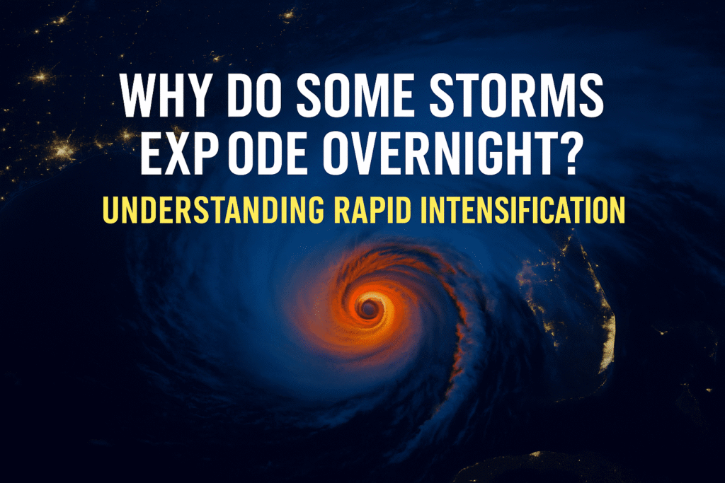
Tropical cyclones are notorious for their unpredictability, but perhaps the most alarming behavior is rapid intensification (RI)—when a storm’s wind speeds surge by at least 35 mph (55 km/h) within 24 hours. This sudden escalation can transform a seemingly manageable storm into a catastrophic event overnight, leaving little time for preparation.
What Triggers Rapid Intensification?
Several environmental and internal factors contribute to RI:
- Warm Sea Surface Temperatures (SSTs): Storms draw energy from warm ocean waters. SSTs above 29°C (84°F) provide ample fuel for intensification.
- High Ocean Heat Content (OHC): Beyond surface temperatures, deep layers of warm water prevent the storm from cooling its own fuel source through mixing.
- Low Vertical Wind Shear: Minimal differences in wind speed and direction with altitude allow the storm structure to remain intact, facilitating intensification.
- High Mid-Level Humidity: Moist air in the mid-troposphere supports sustained convection, a key component of storm strengthening.
- Compact Storm Structure: Smaller storms can spin up more quickly due to the concentration of angular momentum.
Climate Change: A Catalyst for More Frequent RI Events
Research indicates that climate change is making RI events more common and severe. Warmer global temperatures lead to higher SSTs and increased OHC, creating more favorable conditions for RI. Additionally, studies have shown a significant rise in RI occurrences near coastlines, reducing warning times for affected populations.
Notable Examples of Rapid Intensification
- Hurricane Patricia (2015): Strengthened from 85 mph to 215 mph in 24 hours, becoming one of the most intense hurricanes on record.
- Hurricane Michael (2018): Intensified from a Category 2 to a Category 5 hurricane in less than 24 hours before making landfall in Florida.
- Hurricane Otis (2023): Unexpectedly escalated from a tropical storm to a Category 5 hurricane within 12 hours, causing significant damage in Mexico.
Challenges in Forecasting RI
Predicting RI remains a significant challenge for meteorologists. While forecasting models have improved, accurately anticipating RI events is difficult due to the complex interplay of atmospheric and oceanic conditions. The sudden nature of RI underscores the importance of continuous monitoring and advancements in predictive modeling.
Preparing for the Unpredictable
Given the increasing frequency of RI events, it’s crucial for communities in cyclone-prone areas to stay informed and prepared. Investing in reliable weather monitoring tools can provide early warnings and valuable data.
Recommended Weather Monitoring Tools
- Davis 6242 Vantage Vue Wireless Weather Station: Offers accurate, real-time weather data with a user-friendly interface.
- AccuWeather WS-2902 Ambient Weather System: Provides comprehensive weather tracking features, including wind speed, humidity, and rainfall measurements.
- AcuRite Iris Home Weather Station: Features Wi-Fi connectivity for remote monitoring and integration with weather networks.
Understanding rapid intensification is vital in our changing climate. As storms become more unpredictable, staying informed and prepared can make all the difference


