Ever wondered why storms suddenly intensify out of nowhere? The secret often lies beneath their swirling clouds—right on the ocean’s surface. Sea-surface temperature (SST) is basically a storm’s fuel gauge, dictating just how strong hurricanes and cyclones can get. Let’s dive deeper into why warm oceans mean powerful storms.
Why Warm Water is the Perfect Storm Fuel
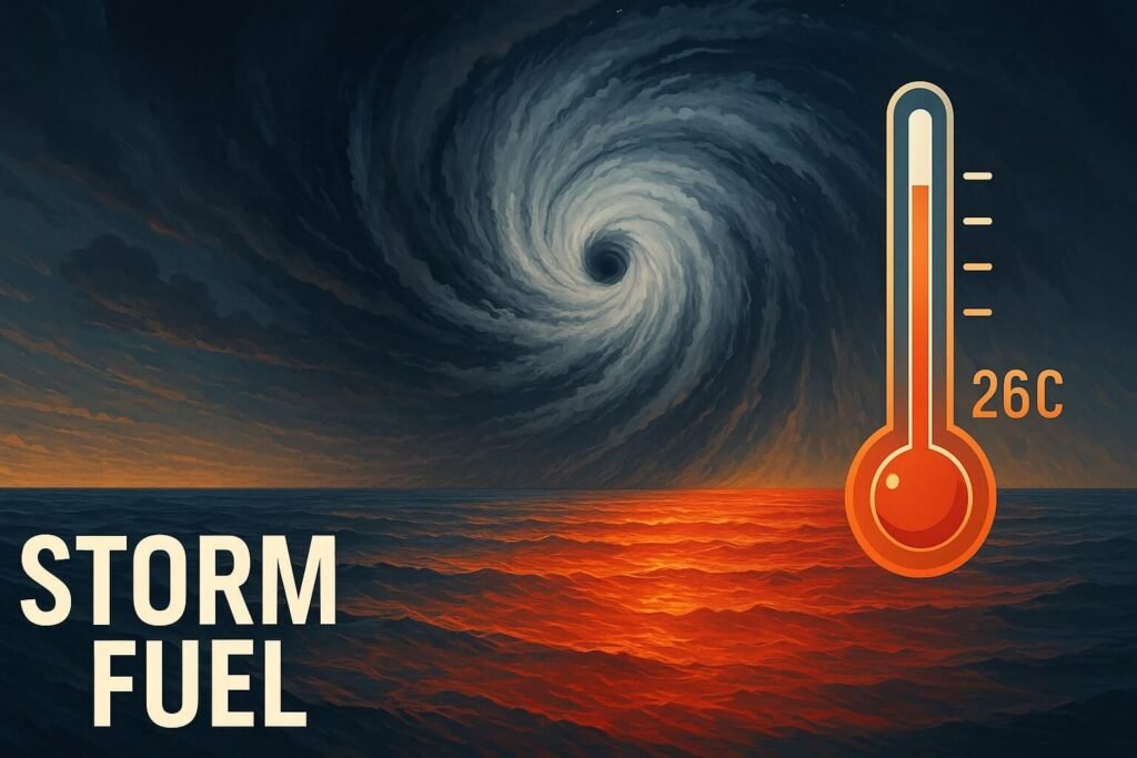
To keep it simple, tropical storms feed on heat. When ocean water reaches around 26–27°C (about 79–81°F), it hits the sweet spot for storm formation. Think of warm ocean water as high-octane gasoline: the hotter it gets, the more energy it pumps into the storm engine. This fuels the towering clouds and fierce winds that can eventually turn a mild storm into a raging cyclone.
Measuring the Temperature of the Ocean
We monitor ocean temperatures using satellites, buoys, ships, and underwater drones. Satellites measure the surface temperature with incredible accuracy, giving meteorologists detailed maps of hot spots that could fuel storms. These maps are crucial for forecasting where storms might rapidly intensify.
How Hot Spots Trigger Rapid Intensification
Here’s where things get interesting. When storms pass over marine heatwaves—ocean regions that are abnormally hot—rapid intensification often occurs. Imagine a storm casually moving along, hitting a patch of exceptionally warm water. It’s like giving the storm a sudden turbo boost. Recent examples include hurricanes like Lee and Idalia, which both strengthened dramatically as they moved over waters warmer than 31°C (88°F).
Deeper Waters Mean More Storm Fuel
It’s not just the surface temperature that matters. Below the surface, the ocean stores heat in deeper layers. This hidden heat, known as tropical cyclone heat potential (TCHP), lets storms keep intensifying even when they churn colder water upwards. That’s why certain areas, like the Gulf of Mexico, can transform moderate storms into catastrophic hurricanes seemingly overnight.
Climate Change: Turning Up the Heat
Global warming is turning the dial up on ocean temperatures. Recent records show oceans are warmer now than at any other time since reliable measurements began. Warmer oceans don’t just mean stronger storms—they mean storms can intensify faster and closer to coastlines, giving people less time to prepare.
Beyond Temperature: Other Factors
While sea-surface temperature is crucial, storms also rely on atmospheric conditions like humidity, wind shear, and larger weather patterns like El Niño and La Niña. But temperature remains the main fuel gauge, setting the ultimate limit on how strong a storm can become.
The Future of Storm Forecasting
Scientists continuously improve how they track SST, integrating new technologies like real-time CubeSat data and advanced modeling techniques. Better predictions mean communities can prepare sooner, potentially saving countless lives and reducing property damage.
Quick Storm Fuel Facts:
- Ideal storm fuel temperature: Around 26–27°C (79–81°F)
- Every 1°C warmer: Storm winds could become 5–8% stronger
- Marine heatwaves: Can double chances of rapid storm intensification
- Recent record SST: North Atlantic waters in 2023–24 hit historic highs, breaking records significantly
Wrap-Up: Why This Matters to You
Understanding sea-surface temperature isn’t just for scientists. Knowing how this storm fuel works helps us all grasp why hurricanes and cyclones behave the way they do. It underscores the importance of staying prepared, especially as our oceans continue to warm.