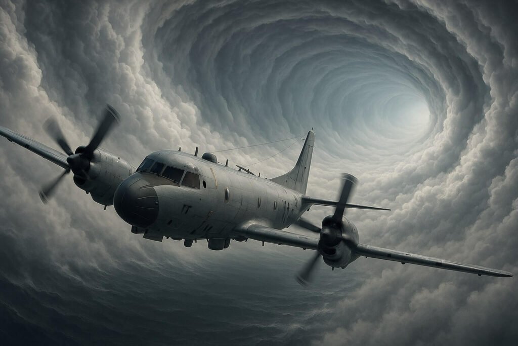
Have you ever wondered what it’s like inside the eerie calm of a cyclone’s eye? It’s hard to imagine a peaceful pocket surrounded by chaos, but for the brave crews of reconnaissance aircraft, it’s just another day at work.
Recon planes like NOAA’s WP-3D Orion and the U.S. Air Force Reserve’s WC-130J Hurricane Hunters regularly dive into the very heart of storms. But why risk flying through the cyclone’s most intense winds just to reach its quiet centre?
Why Fly into the Eye at All?
Satellites are fantastic for capturing cloud formations, but they can’t measure the exact pressure at sea level or precise wind speeds beneath thick storm clouds. This is where recon planes step in, providing critical, real-time data every few hours by flying straight into the eye.
What Exactly Are They Measuring Inside the Eye?
Recon planes are packed with cutting-edge gear to read a storm’s vital signs:
- Flight-Level Sensors: These capture air pressure, humidity, temperature, and wind speed right from the plane’s wings.
- GPS Dropsondes: Imagine small parachutes dropping from the aircraft, collecting information on their way down about pressure, temperature, humidity, and wind. These tiny devices deliver invaluable insights, especially the storm’s lowest pressure.
- Doppler Radars: They scan horizontally and vertically, creating detailed images of wind patterns and storm structure, crucial for predicting changes like rapid intensification.
- Microwave Radiometers: Positioned under the aircraft’s wings, these measure sea foam to accurately estimate surface wind speeds and rain intensity.
- Ocean Temperature Probes: These help forecasters know if warm ocean waters are ready to fuel a cyclone’s growth.
- Drones: Small drones are launched to get even closer to the sea surface, capturing data that manned flights simply can’t reach.
How Data from the Eye Improves Forecasts
Once collected, the data is condensed into a concise message—called a Vortex Data Message—transmitted immediately back to meteorologists. This snapshot includes critical details like the cyclone’s exact centre, lowest pressure, highest winds, and temperatures inside the eye. This information feeds directly into forecasting models, drastically improving predictions about a storm’s path, intensity, and potential impact.
Emerging Innovations
Reconnaissance technology is constantly evolving. New drone swarms, advanced ocean probes, and improved radar systems continue to provide deeper insights, helping meteorologists predict cyclone behaviour with even greater accuracy.
Challenges Still Remain
Despite their sophistication, recon flights aren’t foolproof. Bad weather conditions and equipment limitations sometimes interfere with data collection, highlighting the constant need for innovation and improvement.
Next time you hear a cyclone update, remember the brave teams soaring through storm walls into the calm eye. Their daring flights deliver the critical insights that keep communities informed—and safe.


