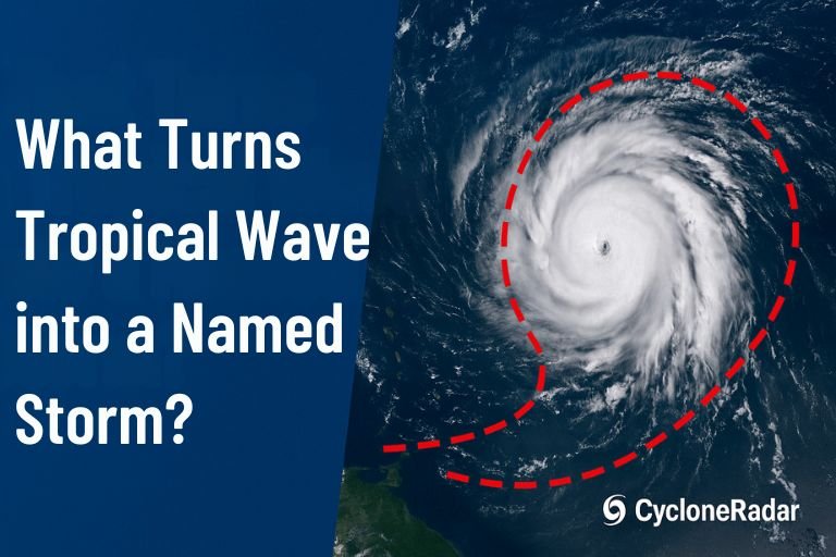
Ever heard the weather forecaster casually mention a “tropical wave” and wondered what exactly that means? You’re not alone! A tropical wave is like the starting line for many hurricanes and tropical storms, but turning from a simple atmospheric ripple into a named storm takes specific ingredients and some fascinating science.
First Things First: What’s a Tropical Wave?
Think of a tropical wave as a giant atmospheric bump that travels westward from Africa across the Atlantic Ocean. Around 60–70 of these waves drift off the African coast each season, but only a handful ever grow strong enough to get their own names.
Six Essential Ingredients to Turn a Tropical Wave into a Storm
A tropical wave alone won’t automatically become a storm—it needs a bit more help:
- Warm Ocean Water: Like fuel for a storm, the ocean needs to be at least 26.5°C (about 80°F) deep below the surface.
- Moisture: A dry atmosphere is storm kryptonite. Moist mid-level air helps thunderstorms grow and stay strong.
- Low Wind Shear: Calm upper-level winds let the storm organize vertically instead of getting blown apart.
- Spin (Vorticity): A little rotation already in place helps kickstart the storm’s swirling.
- Distance from the Equator: Without Earth’s spin (Coriolis force), the storm can’t get rotating—so being at least 5 degrees latitude from the equator helps.
- Instability: Thunderstorms need an unstable atmosphere to keep flaring up, pushing energy upwards and strengthening the storm.
Step-by-Step: How a Wave Becomes a Named Storm
Here’s how it usually unfolds:
- Disturbance: Scattered thunderstorms start clustering around the wave.
- Invest: Forecasters spot something interesting (“Invest”) and begin special monitoring.
- Closed Circulation Forms: Winds begin rotating around a defined center.
- Tropical Depression: Once there’s clear circulation and winds under 39 mph, it earns the title Tropical Depression.
- Tropical Storm (named storm): When sustained winds reach 39 mph, it officially gets a name, signaling it’s organized enough to potentially grow stronger.
Why 39 mph Matters
The “magic number” of 39 mph isn’t random. At this strength, storms usually have consistent circulation, gale-force winds, and significant convection wrapping around the center. Naming it isn’t just ceremonial—it’s a crucial step to alerting communities at risk.
The Science Behind the Spin
Each burst of thunderstorms within a tropical wave heats the upper atmosphere, causing pressure drops at the surface. This pulls air inward and upward, tightening the spin. Think of a figure skater pulling in their arms to spin faster—storms do this with air to intensify their rotation.
Not Every Wave Makes It—Why?
Only about 8–10% of tropical waves become storms. Reasons include:
- Saharan Dust: Dry, dusty air can choke the moisture out of storms.
- Wind Shear: High-level winds can tear developing storms apart.
- Ocean Conditions: Cool water or ocean currents can stop storm growth in its tracks.
Real-World Example: Hurricane Beryl (2024)
Just look at Hurricane Beryl in 2024—it started as a simple wave off Africa on June 23. Within five days, favorable conditions like warm waters and low wind shear transformed it from a tropical depression into a powerful Category 5 hurricane.
The Future of Forecasting
While scientists know what ingredients storms need, accurately predicting which tropical wave will intensify is still tricky. Ongoing research aims to better forecast rapid intensification and storm formation.
Stay Storm Smart!
Next time you hear “tropical wave” mentioned, you’ll know exactly what’s going on behind the scenes. Keep checking CycloneRadar to stay ahead of tropical weather—and remember, staying informed is the best way to stay safe!