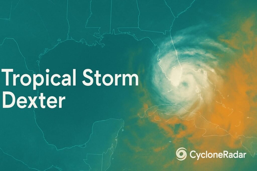
It started as just a whisper of clouds off Florida’s east coast, but now the swirl of thunderstorms sliding across the peninsula is catching serious attention. The system hasn’t earned its name yet, but meteorologists are watching closely as it crosses the state and heads into the Gulf of Mexico. If it continues to organize, it will be called Tropical Storm Dexter, and there’s a growing sense this one could bring some messy days to the southern United States.
As of now, the National Hurricane Center gives it a 40 percent chance of development within the next seven days. While that number isn’t sky-high, it’s enough to warrant preparation and close tracking, especially since tropical systems in the Gulf have a tendency to ramp up quickly once they hit that warm bathwater sitting off the coast.
What’s brewing in the Gulf
The disturbance currently known as Invest 93L is expected to reach the eastern Gulf by midweek. Right now, it’s being pushed west by a steering pattern locked between a high over Bermuda and a ridge over Mexico. It’s riding a conveyor belt straight into some of the warmest waters in the entire Atlantic basin. Sea surface temperatures in this region are hovering near 30 °C, which is more than enough to support tropical storm development if upper winds relax.
That’s the wildcard here. Wind shear in the Gulf has been high recently, which can tear apart developing systems. But forecast models are showing a dip in that shear as the system moves west, creating a small window where organization could happen quickly. If that happens, we could see tropical storm Dexter strengthen as it nears the northern Gulf Coast.
Models generally agree on the westward motion, with ensemble tracks clustered from the Florida Big Bend through coastal Mississippi and into southeast Texas. Some even push it inland over Louisiana. While there’s still uncertainty in the final track, the central Gulf states should be ready for several inches of rain, gusty winds, and possible flash flooding between Thursday and Saturday.
What the impacts might look like
Even if tropical storm Dexter doesn’t strengthen into a high-end system, the hazards from rainfall alone could be significant. Tropical disturbances often dump enormous amounts of water over a short period, and this one is expected to interact with a humid airmass already in place across the region.
Florida is first in line. As the system finishes crossing the state, expect scattered tropical downpours to continue through Tuesday and Wednesday. The heaviest rain will likely fall along the I-4 corridor, where totals of 3 to 6 inches are possible.
As the low reaches the Gulf, rain will begin spreading inland across Alabama, Mississippi, and Louisiana. Forecasts are calling for 4 to 8 inches of rain in some areas, especially along the coast where moisture from the Gulf will be most concentrated. Locally, some spots could see over a foot if the storm slows down, which models suggest is a possibility.
In southeast Texas, the threat will depend heavily on the final track. If Dexter drifts west, places like Beaumont and even Houston could see heavy rain on Friday into Saturday. Rainfall totals of 2 to 4 inches are expected, with localized higher amounts.
Alongside the rain, there’s a risk of tropical-storm-force winds in squalls, mostly on the eastern side of the circulation. That means coastal zones from Apalachicola to Galveston should brace for gusty conditions and rough surf. The NHC may issue tropical storm warnings if the system becomes more organized.
Storm surge is also on the radar. If Dexter becomes a strong tropical storm and pushes toward Louisiana or Mississippi, low-lying areas could see 2 to 4 feet of water above ground level in bays and coastal inlets. This might not sound extreme, but for marshy coastal towns with limited elevation, even a couple of feet can cause major issues.
Rip currents are already becoming a concern. Swells generated by the approaching system are making their way to shorelines, even in the absence of a defined center. Double-red flags are likely to go up at beaches along the Panhandle and into Alabama and Mississippi by midweek.
Where we go from here
It’s still too early to say exactly what kind of storm Dexter will become. It may remain a disorganized rainmaker, or it could tighten up and develop into a named tropical storm over the warm waters of the Gulf. Either way, its impact is likely to be felt across a wide area.
What makes systems like this tricky is how quickly they can change. Barry in 2019 and Claudette in 2021 both started out looking messy and weak, only to strengthen near land and bring damaging floods and gusts. Tropical storm Dexter has some similarities already. It’s disorganized now, but it’s moving over fuel-rich waters with a pattern that could allow for sudden strengthening.
That’s why preparation matters. Gulf Coast residents should stay weather-aware, check supplies, and start thinking through what they’d do if a watch or warning is issued later this week.
For now, it’s about watching the radar, checking the updates, and keeping one eye on the sky. CycloneRadar will be monitoring every twist and turn, bringing you updates that skip the jargon and get to the point. Whether this stays a soggy mess or ramps up into tropical storm Dexter, we’ve got you covered.

