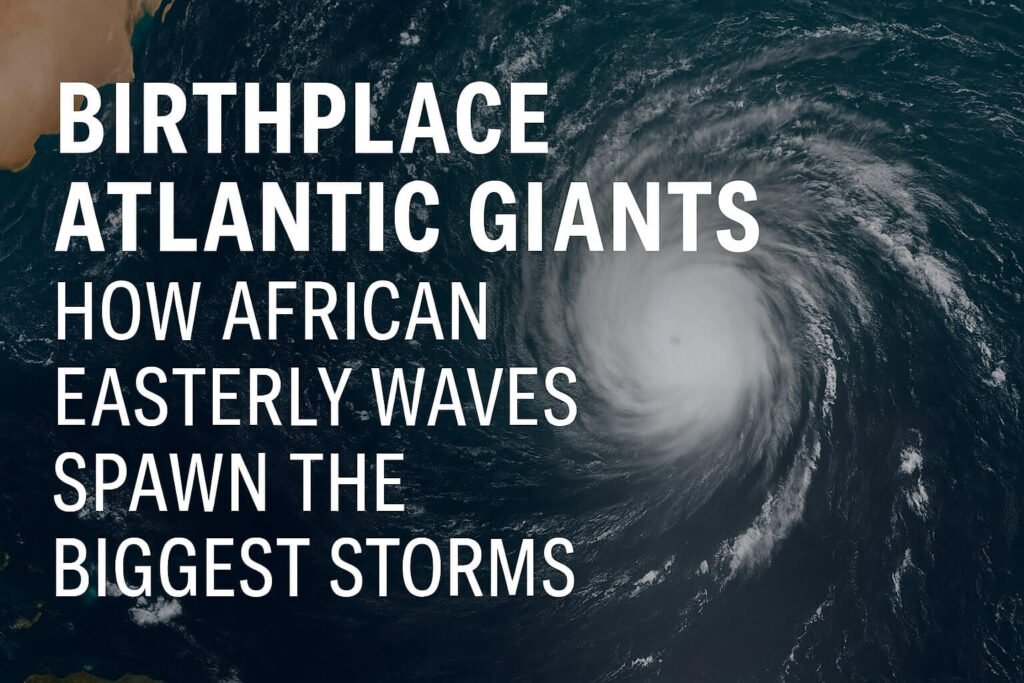
very epic hurricane has a birthplace—and most of the Atlantic’s fiercest storms start their journey the same way: as a barely-there ripple of wind rolling west from Africa.
These ripples are called African Easterly Waves (AEWs), and they’re not just random gusts. They’re organized systems born from deep weather battles over the Sahel, riding powerful jet streams and heading straight toward the tropical Atlantic. The next time you see a hurricane on satellite spinning its way toward the Caribbean or the Gulf, there’s a good chance its origin story traces back to one of these waves.
Let’s break down why these waves matter, how they form, and why we call them the birthplace of Atlantic giants.
What Are African Easterly Waves?
African Easterly Waves are broad, wave-like troughs of lower pressure that travel westward through the tropical atmosphere, typically between June and October. Think of them as mini weather systems—around 2,000 to 3,000 kilometres apart—flowing off the African continent into the Atlantic Ocean every 3 to 5 days.
They start over places like Sudan or the Ethiopian Highlands, where thunderstorm clusters form thanks to intense heat, humidity, and rising air. These clusters get caught up in the African Easterly Jet, a mid-level wind stream that shoots across the Sahel. That jet is crucial—it gives the wave structure and momentum, helping it survive the long journey west.
Why These Waves Matter for Hurricanes
Here’s where it gets interesting: around 60% of all named Atlantic storms and over 80% of major hurricanes (Category 3 and above) come from AEWs.
But not every wave makes it. Once over the ocean, they need the right mix of warm sea surface temperatures, low vertical wind shear, and high humidity to turn into a tropical depression—and eventually a hurricane. Some get shredded by Saharan dust or dry air. Others simply run out of steam.
But when everything lines up? You get storms like Hurricane Irma, Hurricane Andrew, or Hurricane Katrina—all of them started as African Easterly Waves.
Conditions for a Wave to Go Big
1. Warm water: The ocean has to be at least 26.5°C (about 80°F) to feed the storm’s engine.
2. Moist mid-level air: Dry air can choke the wave before it grows.
3. Low wind shear: That means the winds at different altitudes need to be relatively uniform. Too much shear and the storm gets pulled apart.
4. Time: It takes several days for a wave to slowly organise, consolidate its energy, and spin up into something dangerous.
In short, the Atlantic is like a gauntlet. The waves that make it through have already passed a brutal natural test—and those are the ones we worry about.
The Cape Verde Connection
Many of the most powerful hurricanes are often called Cape Verde hurricanes. Why? Because they form near the Cape Verde Islands, off the western coast of Africa, right after a wave has crossed the continent.
This stretch of the Atlantic is known as the Main Development Region. It’s hot, it’s wet, and it’s wide open—perfect for tropical storms to grow into monsters, especially in August and September.
Watching the Waves
Modern forecasting tools now allow us to spot AEWs days before they even reach the ocean. Satellites, scatterometers (which measure surface winds), and even new low-orbit sensors can pick up on early signs of spin.
Forecasters at the National Hurricane Center track these waves closely. If a wave shows promise, it’s marked on their Tropical Weather Outlook maps with formation chances over the next 2 to 7 days. It’s often the first clue that a storm might be brewing.
Is Climate Change Shifting the Birthplace?
That’s the big question. Some climate models suggest we might see more African Easterly Waves or stronger ones, due to a warmer Sahel and stronger monsoon seasons. But it’s complicated—rising wind shear in other parts of the Atlantic could offset that.
In other words, the birthplace of hurricanes may stay the same, but the success rate of storms forming could change in either direction. Research is ongoing.
It’s easy to think hurricanes just “appear” in the Atlantic, but most of them have deep roots—starting as waves from a continent away. Understanding African Easterly Waves gives us a head start, a few precious days to watch, prepare, and respond.
So next time the satellite lights up with a tropical swirl near Cabo Verde, remember: that swirl probably started its life hundreds of miles inland, as a ripple in the African wind.