Tropical activity is bubbling near Mexico’s Bay of Campeche, where a broad area of low pressure is drawing the watchful eye of the National Hurricane Center. In its latest Tropical Weather Outlook, the NHC assigns this system a low 20% chance of cyclone formation over the next seven days, but even without full development, the disturbance is expected to drop 4 to 8 inches of rain over southern Mexico, Guatemala, and parts of Central America. That means flooding, possible landslides, and flash warnings across the region—all from a system that hasn’t even earned a name.
And that’s exactly why the National Hurricane Center matters.
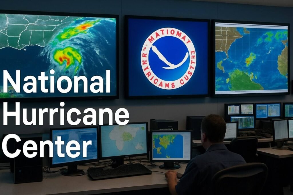
From seemingly quiet ripples in the tropics to full-blown Category 4 monsters, the NHC stands as the world’s most authoritative voice on tropical weather in the Atlantic and eastern Pacific. If you’ve ever seen the “cone of uncertainty” on the evening news, if your weather app buzzed with hurricane alerts at midnight, if you’ve packed your bags ahead of an evacuation notice—it likely all traces back to a forecast first drawn up inside their Miami headquarters.
Who they are, what they do, and why it saves lives
The National Hurricane Center, part of NOAA’s National Weather Service, runs 24/7 between May and November, when hurricane season peaks. Their mission is simple but enormous: to issue the most accurate watches, warnings, and forecasts for tropical cyclones and to help the public understand them. But behind that mission is a high-stakes blend of science, speed, and communication.
When an area of disturbed weather like the current Bay of Campeche system begins to show rotation, the NHC kicks into gear. Every six hours, a full advisory is issued if the system reaches tropical depression strength, with updates at 5 a.m., 11 a.m., 5 p.m., and 11 p.m. Eastern Time. If watches or warnings are in effect, they’ll also send out intermediate updates every three hours, and even “special advisories” when the storm shifts unexpectedly.
They’re not alone in this work. The NHC coordinates closely with hurricane-hunter aircraft, which fly into developing systems to gather real-time pressure, wind, and temperature data. These missions, run by NOAA and the U.S. Air Force Reserve, can spot subtle but critical changes in a storm’s strength or structure—sometimes before satellites pick them up.
From there, powerful models come into play. In 2023, the center debuted its new Hurricane Analysis and Forecast System (HAFS), a next-gen forecasting tool that already shows improved accuracy, especially in long-range outlooks. Compared to 30 years ago, the NHC’s three-day forecast track error has shrunk by 75%, while their five-day forecasts have improved to the point of being more reliable than three-day forecasts were just a decade ago.
Yet even the best science means little if people don’t understand the risk. That’s where the NHC’s public communication tools come in.
Forecasts with purpose, maps with meaning
Most people know the NHC by its signature “cone of uncertainty,” a white swath on the map showing the most likely path of a storm’s center over the next five days. It’s based on years of forecast data and improves as storms move closer to shore. But here’s what many miss: hurricanes are not just about the center. Winds, storm surge, and heavy rain often spread far beyond that narrow cone, which is why NHC also publishes graphics showing expected wind speeds, rainfall totals, and potential storm surge flooding across a wide area.
In fact, storm surge is now treated with the same urgency as wind speed. The Storm Surge Unit, a key team within the NHC, runs constant simulations with the SLOSH model (Sea, Lake, and Overland Surges from Hurricanes) to predict how high water might rise in coastal communities. In 2023, these maps moved from experimental to official, showing not just where water will rise, but how deep it might get—block by block.
The center also makes its forecasts easier to understand with “Key Messages” slides: just three simple bullets per advisory that spell out what to expect, when to act, and what’s most dangerous. Whether you’re scrolling social media, tuning into your local news, or checking your city’s emergency management page, chances are you’ve seen these graphics without even realizing where they came from.
Not just science—it’s personal
The National Hurricane Center isn’t just an agency, it’s people. Nine lead forecasters rotate around the clock, trained in meteorology, emergency management, and real-world disaster response. Many have lived through hurricanes themselves. That experience shows in the language they choose, the tone of their bulletins, and how they communicate with emergency officials.
They’re also deeply involved with planning well before storms hit. Through the National Hurricane Program, the NHC helps FEMA, the U.S. Army Corps of Engineers, and state officials design evacuation routes, update shelter maps, and figure out how long it would take to clear out a barrier island or low-lying suburb. That timing can make the difference between a safe evacuation and a dangerous last-minute scramble.
Social media has become a major tool, too. Their @NHC_Atlantic and @NWSNHC accounts provide live updates, answers to common questions, myth-busting posts about hurricane myths, and even videos straight from the specialists themselves. Their aim isn’t to scare—it’s to empower.
Looking ahead: smarter tools, faster warnings, better outcomes
Forecasting continues to evolve. Drones are now flying directly into hurricane eyes, relaying data back that used to be impossible to get. AI-enhanced models are being tested to simulate not just one storm, but multiple storms at once across the globe. There’s even talk of adding longer-range surge warnings based on sea-level rise trends and urban development patterns.
Yet for all the tech, the National Hurricane Center’s greatest strength may still be its ability to talk to people—not at them. Whether it’s a Category 5 heading for landfall or a small system like today’s Bay of Campeche disturbance, the message is always the same:
“Here’s what we know, here’s what might happen next, and here’s what you need to do.”
That’s not just a forecast. That’s public service.