It’s a typical July in Nebraska, which means Omaha weather is anything but typical. One moment, it’s sweltering sunshine with air so thick you can feel it press against your skin. The next, the sky is pulsing with thunder, tossing down sheets of rain and brief but brutal wind gusts. Over the last 24 hours, the Omaha area has seen a rush of heat and humidity, followed by overnight storms that barreled through with radar-indicated winds reaching 60 miles per hour. Hail, flickering power lines, and flooded intersections told the rest of the story.
Tuesday morning brought damp sidewalks, skies smeared with low cloud cover, and a kind of sticky air that made early coffee runs feel more like saunas. But what really grabbed attention was the way overnight warnings popped across Douglas and Sarpy counties. Phones buzzed with alerts, while TV stations like WOWT and KETV stayed on air through the night tracking the line of storms that eventually shifted southeast. Even with those cells moving out, the atmosphere didn’t rest. By sunrise, dew points in the low 70s were already locking in that classic Midwestern mugginess.
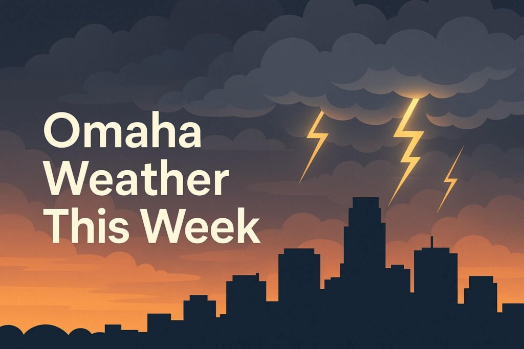
Omaha weather enters a volatile stretch
As we move through the middle of the week, Omaha weather continues its chaotic summer rhythm. A dome of southern heat is nudging northward, raising temperatures close to 90 degrees today and tomorrow. The real discomfort, though, lies in the heat index. With dew points holding strong near 70 degrees, it will feel more like 98 to 100 degrees in some neighborhoods. Outdoor workers, seniors, and anyone without reliable cooling should take precautions. Even short walks or gardening efforts could result in serious heat stress if hydration is not kept up.
What’s adding to the concern is how the atmosphere continues to destabilize in waves. The Storm Prediction Center has flagged eastern Nebraska with a marginal risk for severe weather today, which bumps up to a slight risk by Thursday. The trigger? A shortwave disturbance sliding in from the Rockies that will likely interact with the already saturated lower atmosphere. Thursday afternoon and evening could see scattered strong storms, possibly rotating, with hail and damaging straight-line winds being the main threats. Although a tornado threat is low, it’s not zero.
We’ve seen this pattern before. Hot, heavy air builds through the week. Then an upper-level impulse rides the ridge into the Plains, tapping into all that moisture. The result is explosive thunderstorms that come fast and leave quickly but not without consequences. Urban flash flooding is a key concern, especially in areas like Saddle Creek, Leavenworth, and near the Old Market where drainage systems can quickly become overwhelmed.
Looking ahead at the week in Omaha weather
The National Weather Service forecast package shows a classic mid-July setup. After today’s lingering cloud cover, Wednesday turns sunnier and even warmer. Then, as we move into Thursday, expect another round of afternoon-to-evening storms. Friday brings scattered thunderstorms, with Saturday and Sunday looking slightly calmer and cooler, though not exactly dry.
Here’s how the daily picture shapes up:
- Tuesday: Clearing skies after morning showers. High around 88 degrees. Heat index near 95 in the afternoon.
- Wednesday: Mostly sunny. High near 89 degrees. Slight chance of isolated afternoon storms.
- Thursday: Increasing clouds. Storms likely late. Potential for severe weather. High near 88.
- Friday: Cloudy with scattered showers and storms. High around 84.
- Saturday: Breezy, lower humidity, high of 82. A pleasant break.
- Sunday: Mostly sunny, warmer again. High near 87.
Nighttime lows will hover near 70 degrees through most of the week, offering little overnight relief. This warm, humid pattern is not just uncomfortable, it can be dangerous if ignored. Dehydration, heat exhaustion, and even heat stroke become real risks, particularly when paired with outdoor activity or power outages that knock out air conditioning.
Atmospheric setup behind the storms
Omaha weather this week is being shaped by a classic clash of forces. A strong upper-level ridge is parked to the south, pumping warm air into the region. Meanwhile, periodic shortwaves are riding the northern edge of that ridge, each one triggering fresh thunderstorm activity as it encounters moisture-laden air over the Plains.
This is exactly the type of setup that historically delivers powerful thunderstorms to eastern Nebraska. While we’re not seeing the kind of high-risk tornado conditions that plagued the region last spring, there’s still plenty of energy available to produce localized damage. Last night’s storms brought strong wind gusts that knocked out power to pockets of the metro area. Thursday’s setup may offer more of the same, with an added risk of flash flooding thanks to rain-saturated soils.
The Missouri River, for now, remains steady. No flood warnings are posted at this time. However, heavy rain upstream could change that, especially if storm clusters train over the same areas multiple nights in a row. Runoff conditions are being closely monitored by the U.S. Army Corps of Engineers. That’s important context, especially for neighborhoods near the river or those with low-lying creeks.
Final thoughts, safety tips, and staying informed
Omaha weather doesn’t follow rules in July. It pushes, pulses, sweats, and occasionally strikes without much warning. That’s why this is not just about forecasts, it’s about being prepared for what could go wrong quickly.
Here are a few simple reminders for navigating this stretch of active summer weather:
- Stay alert. Make sure your phone can receive emergency alerts. Tornado and severe thunderstorm warnings often come with just a few minutes’ notice.
- Hydrate often. Whether you’re working outdoors or just walking the dog, drink water regularly. Once you’re thirsty, it’s already too late.
- Watch the skies. Darkening skies, distant thunder, or sudden gusts of wind often arrive 10 to 20 minutes before a thunderstorm hits.
- Prepare for outages. Have flashlights, extra chargers, and fans ready in case storms knock out power.
- Avoid flood zones. Even in urban areas, it only takes six inches of moving water to knock a person off their feet. Don’t drive into flooded streets.
Whether you’re heading out to enjoy a summer evening or just trying to get through a workday, the key to navigating this kind of weather is balance. Respect the atmosphere, trust reliable local sources, and be ready to pivot your plans when the sky starts to shift. Omaha weather may be moody this week, but with the right mix of awareness and adaptability, you’ll make it through the storms, stay cool in the heat, and maybe even enjoy a sunset or two between the chaos.