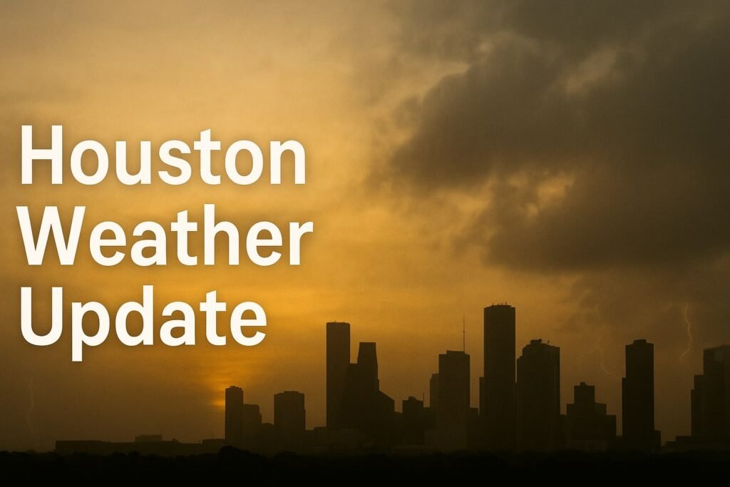
This Sunday, Houston woke up beneath a sky that looked more like a watercolor painting than the sharp blue we’re used to. But that dreamy look has real consequences, and today’s Houston weather story is layered, gritty, and—at times—loud. If you’re stepping outside, brace yourself for a mix of Saharan dust, Gulf-fueled humidity, and a wildcard chance of scattered downpours, all stitched together by sticky air and low visibility.
From the coast up to Cypress and all the way over to Baytown, the atmosphere is carrying more than just moisture. A dust plume from Africa has arrived, and it’s doing more than dulling the light. It’s warming the air just enough to trap heat near the ground and make afternoon storms unpredictable. And while these dusty skies might create brilliant red sunsets, they also pose breathing risks for anyone with asthma or respiratory sensitivity.
Saharan Dust Meets Gulf Moisture: An Atmospheric Tug-of-War
So here’s the setup: the air above Houston is carrying Saharan dust, brought in by a mid-level easterly wind. That dust sits high up—around fifteen thousand feet—and acts like a loose lid on a simmering pot. It doesn’t fully stop storm clouds from rising, but it slows them down, letting only the strongest towers punch through. Below that lid, the Gulf of Mexico is pumping warm, wet air north into Texas. When those two layers interact, you get a sky full of potential energy and sudden, short-lived storms.
The result? Hazy light, thick air, and pop-up showers that come and go without much warning. The Houston weather forecast calls for a high near ninety-two degrees today, but it’ll feel much hotter. With dewpoints in the mid-seventies, the heat index—how hot your body thinks it is—will push 103 °F by late afternoon.
These aren’t just numbers on a map. If you’re doing yard work, coaching soccer, or walking the dog after lunch, it’s the kind of heat that sneaks up fast. Hydration, shade, and smart timing are your best friends today. And if you’re part of a sensitive group—kids, seniors, or anyone with lung issues—staying indoors during the dusty peak might be the safer bet.
Afternoon Storms, Lightning, and Street Ponding
As the sea breeze drifts inland from Galveston Bay, the storm risk rises. Between 1 p.m. and 5 p.m., scattered thunderstorms could bubble up across the Houston metro area. Not everyone will get hit, but the ones that do could see intense rainfall over a short period. Forecasters say one to two inches of rain could fall in less than an hour, especially near Katy, Missouri City, or even central Houston neighborhoods like Montrose and the Heights.
That kind of rain is enough to flood low-lying intersections, overwhelm storm drains, and cover entire lanes on the 610 loop or feeder roads. We’ve seen it before. Water creeps up on Shepherd Drive, rushes through White Oak, and hides potholes on Richmond Avenue. So if it starts pouring, don’t risk it. A few inches of water can stall your car and turn a quick drive into a hazard.
Even if the rain misses you, the lightning won’t be far off. Any thunderstorm that forms today could carry frequent cloud-to-ground strikes. If you hear thunder, get inside. A delay in play is worth avoiding a lightning strike. Wind gusts could also top forty-five miles per hour in some spots, strong enough to knock over patio furniture or snap off weakened limbs.
The chance of hail is low, but not zero. Warm layers aloft will likely melt most ice before it reaches the ground, but stronger storms might still drop small hail, especially west of I-45 and closer to Brenham.
Heat Advisory Close Calls and Air Quality Concerns
Even though no formal heat advisory is in effect, today’s Houston weather will feel close to the line. What makes it worse is the humidity—your sweat doesn’t evaporate well when the air’s already soaked. Add in the Saharan dust, and you’re looking at a double challenge. The Texas Commission on Environmental Quality expects PM2.5 levels to reach “Moderate,” meaning it’s not ideal for those with asthma, COPD, or allergies.
Running a HEPA filter indoors can help, especially during the dust peak between 3 p.m. and 7 p.m. And if you have to be outside, wearing an N95 mask can cut down on breathing in those fine particles. It’s not just haze—it’s breathable dust, and while it makes for pretty sunsets, it can be hard on your lungs.
Looking ahead, the dust will stick around through Monday, maybe even into Tuesday. Monday’s forecast is more of the same: hot, hazy, and slightly drier with rain chances around 40%. But Tuesday may see the dust thin out, allowing storms to return more aggressively.
Stay Ready, Houston
The city’s weather today is a balancing act: dust versus moisture, heat versus wind, and clear skies versus sudden storm bursts. While it’s not a severe weather day in the classic sense, the layered hazards make it a tricky one. Flooded intersections, steamy air, and dirty skies don’t grab headlines, but they change how you move through the day.
Whether you’re heading to the beach, planning a picnic at Hermann Park, or just running weekend errands, keep an eye on the radar and don’t trust the sky to stay calm. Houston’s weather is never boring, and today it’s dressed in gray, wrapped in steam, and crackling with afternoon energy.
Check back with CycloneRadar for fresh updates as the dust clears and storms spark. We’ll be watching the radar so you don’t have to.


