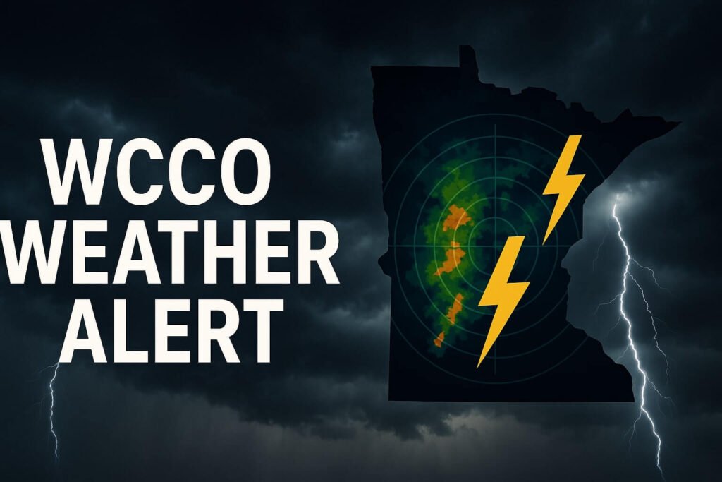
When Minnesota’s summer skies look too still, too bright for too long, you can almost feel it building in the air. That thick humidity, the heat rising off the pavement, it’s a signal. A quiet one, but not for long. Today, WCCO weather made it official: severe thunderstorms are expected to sweep across Minnesota starting this evening and continuing through the overnight hours. This isn’t your average summer storm. We’re talking 70 mph winds, large hail, possible tornadoes, and flash flooding, especially in the western and central parts of the state.
This storm system has been fueled by the perfect cocktail: blazing heat, dew points high enough to stick to your skin, and a strong cold front sliding in from the Dakotas. That front is acting like a match tossed into gasoline. Storms are expected to initiate after 6 p.m., with the most intense action arriving in western Minnesota first, then marching eastward toward the Twin Cities metro area as night falls.
What’s making this more than just a lightning show is the energy in the atmosphere. According to WCCO’s NEXT Weather team, we’re seeing instability from daytime heating colliding with upper-level wind patterns that could organize storms into lines capable of producing widespread wind damage. It’s not just about isolated cells popping up, it’s about connected systems, bowing squall lines, and rotating updrafts. That means even if you’re not directly in the storm’s path now, the overnight hours could still bring surprises.
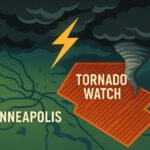
Right now, tornado watches are posted across much of western Minnesota. Counties like Yellow Medicine, Lac Qui Parle, Swift, and Renville are already under severe thunderstorm or flash flood warnings. In Canby and Benson, sirens have been heard. In Elmdale, funnel clouds have already been spotted. This is active, this is real, and it’s unfolding fast.
WCCO weather anchors Lisa Meadows and Mike Augustyniak have emphasized staying alert well into the early morning. One round of storms may come early in the evening, then a second surge could build in after midnight as new storms fire in the Dakotas and roll southeast. The Twin Cities might not see the worst of the hail, but damaging straight-line winds are a major concern, especially with trees already weakened from past storms this season.
The hail threat alone is significant. Some models and spotters have already confirmed hail up to 2 inches in diameter in parts of the state, with possible escalation depending on how these storms evolve. Baseball-sized hail is not off the table. That kind of impact can destroy car windshields, strip siding, and flatten crops in minutes.
Flash flooding is another growing concern. With storms training over the same areas, the saturated ground could easily turn minor creeks into dangerous flows. Yellow Medicine and Lac Qui Parle counties are already under flash flood warnings due to earlier rainfall, and with new rounds expected overnight, more areas could join the list. If you live in a low-lying area or near a small stream, be prepared to act fast.
One of the most useful tools during nights like this is local radar and push alerts. WCCO’s First Alert Weather app can keep Minnesotans informed in real-time. If you’re planning to sleep through the night, make sure your phone’s emergency alerts are turned on. Better yet, keep a NOAA weather radio close by. These systems will wake you up if a warning is issued for your area.
For those wondering if this is typical for late June, yes and no. Severe storms in this region are common during this season, but the scope of this particular setup has meteorologists on high alert. It’s not every day that you get a combination of heat, humidity, jet stream alignment, and frontal boundaries that create this kind of risk. The SPC (Storm Prediction Center) has put much of southern and central Minnesota under a “Slight Risk” zone, which may sound moderate, but in weather terms, it’s serious enough to produce widespread damage if storms hit just right.
By Sunday morning, the cold front will move farther southeast, taking most of the storm threat with it, but until then, the window is wide open for damaging weather. Travel plans should be reconsidered, especially for folks heading west or into rural areas tonight. Lightning will be frequent, visibility may drop quickly during downpours, and roads could flood with little warning.
WCCO weather teams will be updating through the night, and viewers are urged to stay connected via live broadcasts and social media. If you see dangerous conditions or storm damage, report it only when safe, and never drive into flooded roads.
Minnesota’s summer has always walked the line between serene and extreme. Tonight, that line will blur again. With systems like these, conditions change fast. What starts as a calm evening could shift into a loud, shaking storm before midnight. Keep your devices charged, your plans flexible, and your eyes on the radar.
This is what the next 12 hours look like: thunder in the distance, lightning like camera flashes, and a strong reminder that in the Upper Midwest, summer skies don’t stay silent for long.