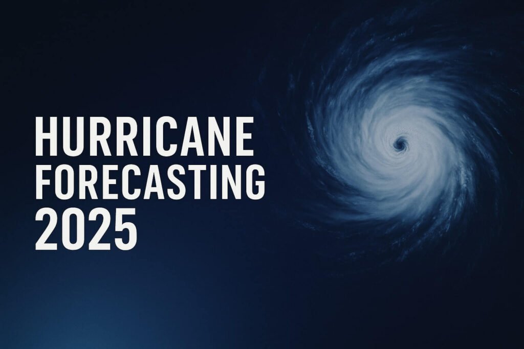
In the world of hurricane forecasting, timing is everything. Minutes matter, and so does every pixel of data. That’s why recent news has sent ripples through the weather science community: a crucial stream of satellite data, used for years to peer into the core of hurricanes, even at night, is being cut just as the 2025 Atlantic hurricane season ramps up. This move, coming with little notice, could alter how accurately we track storms, predict their paths, and warn people in harm’s way.
Why this data mattered so much
At the heart of this issue are the Defense Meteorological Satellite Program (DMSP) satellites, which carried microwave instruments capable of seeing through dense hurricane clouds. These sensors, particularly the SSMIS (Special Sensor Microwave Imager Sounder), were like x-ray goggles for storms. They gave forecasters something that traditional satellite imagery couldn’t—a glimpse inside the hurricane’s structure, through the thickest cloud tops, at night, in rain, and deep within the eyewall.
These sensors could detect “hot towers,” the narrow, tall columns of convection that are often the first signs a storm is about to rapidly intensify. They provided surface wind estimates, sea surface temperatures, and the shape of the storm’s warm core. In short, they were a goldmine of real-time data, especially when aircraft weren’t flying.
NOAA’s own internal model tests found that when this data was included in forecast models like HWRF and the new HAFS system, track errors shrunk by up to 15 kilometers, and the models picked up on rapid intensification events around 7% more often. This is a big deal in hurricane forecasting, where even slight improvements can mean the difference between timely evacuations and missed warnings.
Why the data was cut
The decision to stop transmitting this data came from the Department of Defense. The DMSP satellites are old—launched between 2003 and 2009, and the military says they need to conserve what’s left of their onboard fuel and bandwidth for “national security users.” That left NOAA in the lurch, forced to suddenly absorb the cost of operating these platforms. With a flat budget and no immediate alternative, the data stream is ending on June 30, 2025.
The consequences ripple outward fast. There are no other U.S. satellites currently providing the same type of all-weather, night-vision data in the same early morning orbit. NOAA-21 and other modern satellites do offer microwave coverage, but only at certain times of day. NASA’s TROPICS CubeSats provide faster refreshes, about every 50 minutes, but lack the same resolution and channel depth. European and Japanese satellites exist, but licensing and orbit timing make them unreliable for round-the-clock forecasting.
In essence, forecasters are about to fly a little more blind, especially at night.
What it means for hurricane forecasting this season
Without this data, the accuracy of track and intensity forecasts may suffer. Specifically:
- NHC may have less certainty locating a storm’s center at night, which can increase the width of the “cone of uncertainty.”
- Rapid intensification events, like the shocking overnight strengthening of Hurricane Ian in 2022, may go undetected until it’s too late.
- Storm surge and flooding models that depend on detailed surface wind inputs may be less precise, especially in near-real time.
All of this happens in a season where the Atlantic is already unusually warm, and long-range outlooks call for above-normal hurricane activity. Emergency managers, coastal residents, and forecasters alike may have to operate with slightly duller tools than they’ve used in the past few years.
What’s more frustrating to the scientific community is how abruptly this decision was made. No public notice, no environmental review, just a memo. It feels eerily similar to 2014, when the U.S. lost access to QuikSCAT winds, and it took years to recover that capability.
Former NOAA leadership and weather science groups have called the move “dangerous,” saying it raises risks for vulnerable coastal communities. Senator Bill Cassidy of Louisiana is already preparing legislation to restore funding or delay the cutoff. Meanwhile, NOAA is scrambling to test AI-generated imagery that mimics the missing microwave data, but these solutions are experimental and unproven in live hurricanes.
What can be done moving forward
This isn’t the end of hurricane forecasting, but it is a clear warning about the fragility of the systems that keep millions of people safe. As climate change fuels stronger, wetter storms, having access to continuous, reliable observational data isn’t a luxury—it’s a necessity.
Long-term solutions are coming. NOAA’s GeoXO satellite program promises to bring back advanced microwave sensing later this decade. Private companies like Tomorrow.io and Spire are launching commercial weather constellations. But none of these are fully operational yet, and most require expensive licensing that public agencies can’t afford without help.
In the meantime, forecasters will lean even more heavily on hurricane hunter aircraft, lightning data, and what remains of the satellite toolkit. But the truth is, we’ve just lost one of our best early warning systems for the most dangerous storms on Earth.
For now, coastal communities should stay alert, monitor updates more frequently, and prepare for the possibility that forecasts may carry a little more uncertainty. The science of hurricane forecasting is still strong, but this unexpected data blackout reminds us just how much it depends on the invisible infrastructure orbiting quietly overhead.


